 This week's lab was the second half of working with projections and adding X, Y data to our map.
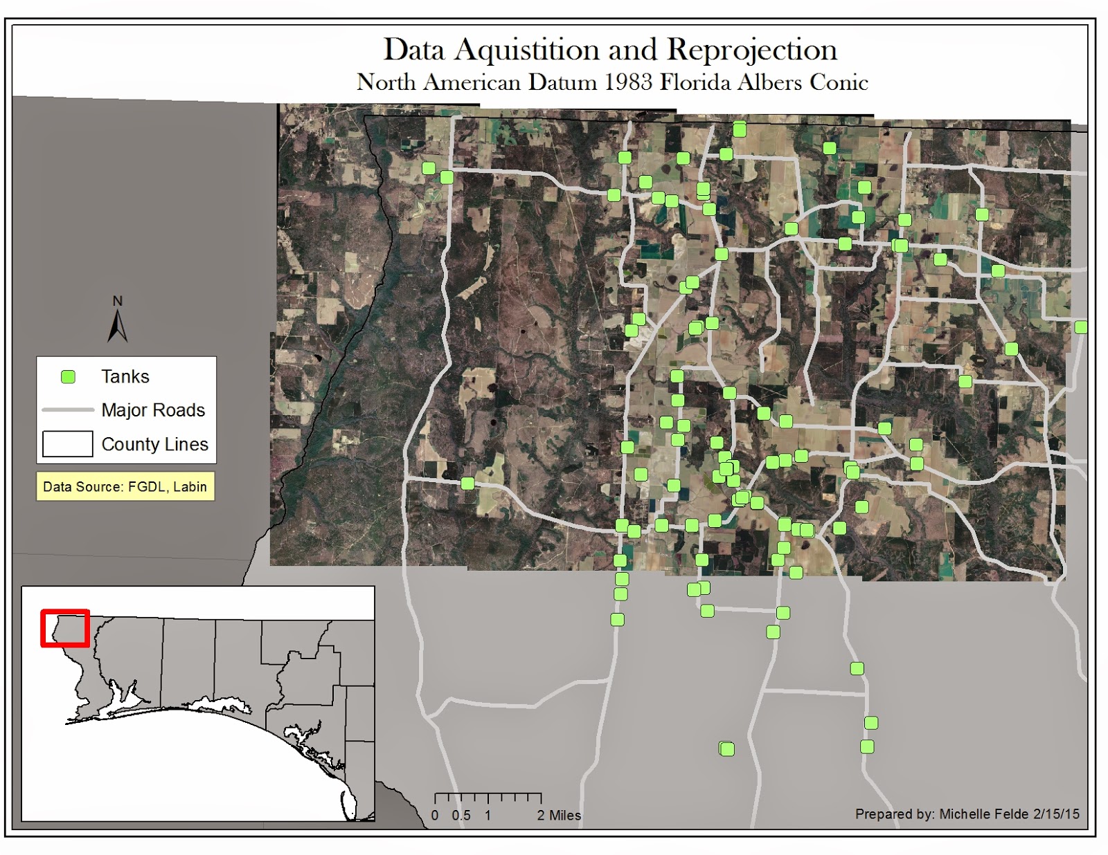
 This map is of aerial photos of Escambia County of Florida. The additional shapefiles of streets and counties need to have the projection changed to Florida Albers. By doing this through the Project tool, the streets and aerial photos match up.
The next piece I have used at work and is very beneficial is adding points from X, Y data. By adding this data and exporting it as a shapefile it places the storange tanks on to the map. In order for the tanks to be in the right location, I had to reproject to WGS84.
I think this lab was good practice for what we will come across in the real world. Data will be in different projections, but need to redefine it. It shows how important it is to know details about your data so you can map accurately.
No comments:
Post a Comment