 Week 11 lab assignment was the 2nd part of working with vector shapefiles. Another key element of the lab was using various tools such as union and erase. Besides using different tools, also practiced different queries, attribute or location.
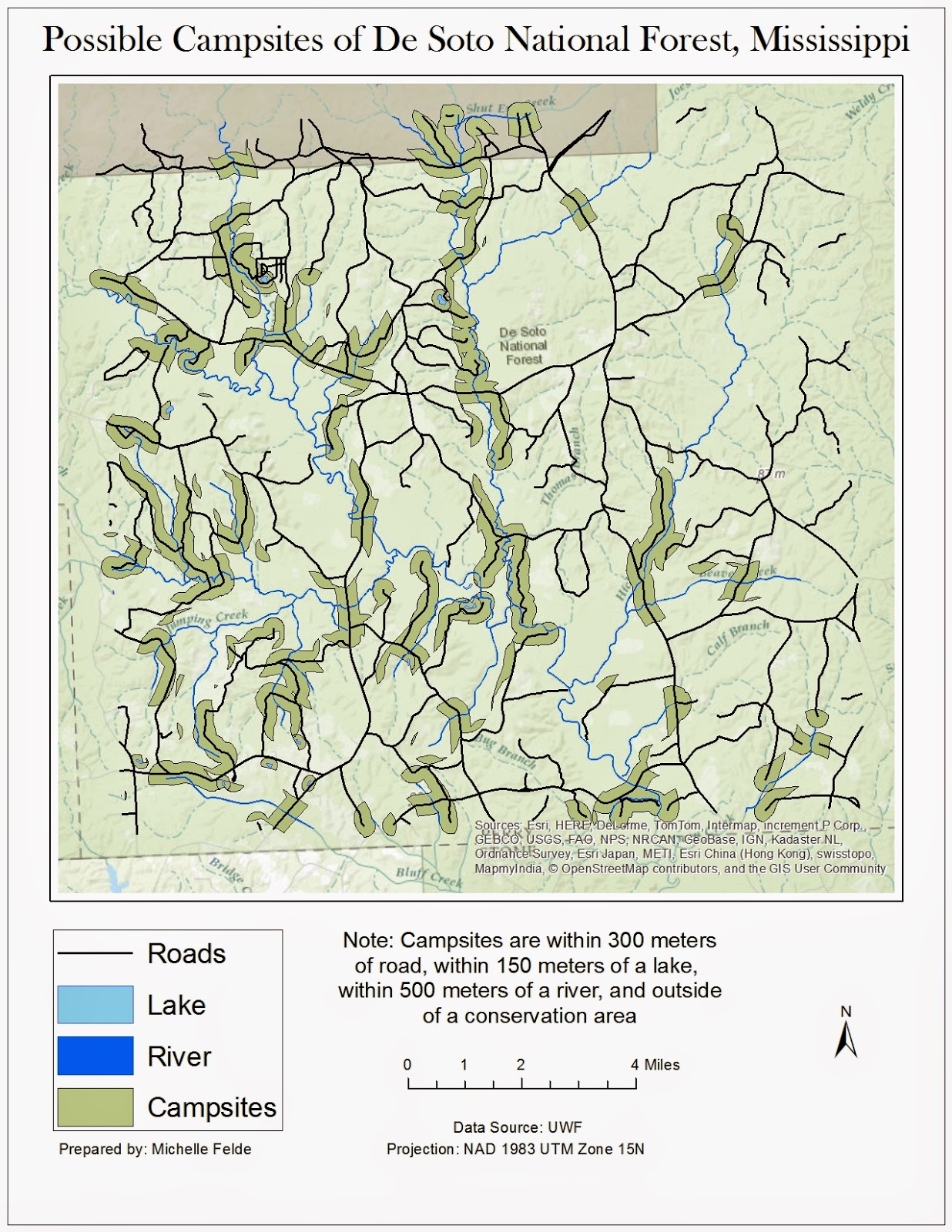
To create this map I used the buffer tool to create a bummer around the water and roads. To perform the same buffer at different differences to save time, we used ArcPy. This allowed me to run the buffer very quickly.
Once everything had a buffer applied, I moved into using overlay tools to find the possible campsites. One of the tools used was Union. I joined the water and road buffers together to see where there is overlap. To find the areas that aren't in conservation land, I used the erase tool to remove any overlap of roads/water buffer and conservation areas. The final step was to take the new layer and use the Data Management tool of Multiple to Singlepart. This allowed me to analyze the properties of specific locations.
Learning using ArcPy was my favorite part of the lab. It seems like it can be very beneficial to use.
No comments:
Post a Comment