 Week 7/8 focused on retrieving data and displaying multiple layers. Another key component to this lab was making sure all the data is in the same projection.
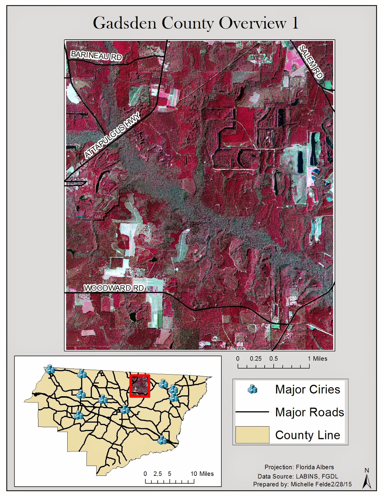
 My maps cover Gadsden County. This first map shows a digital orthophoto quarter quad of part of Gadsden County. The inset map shows which part of the county it is and also helps show where the cities are in relation to the DOQQ. I also labeled the roads to give a better understanding of the location.
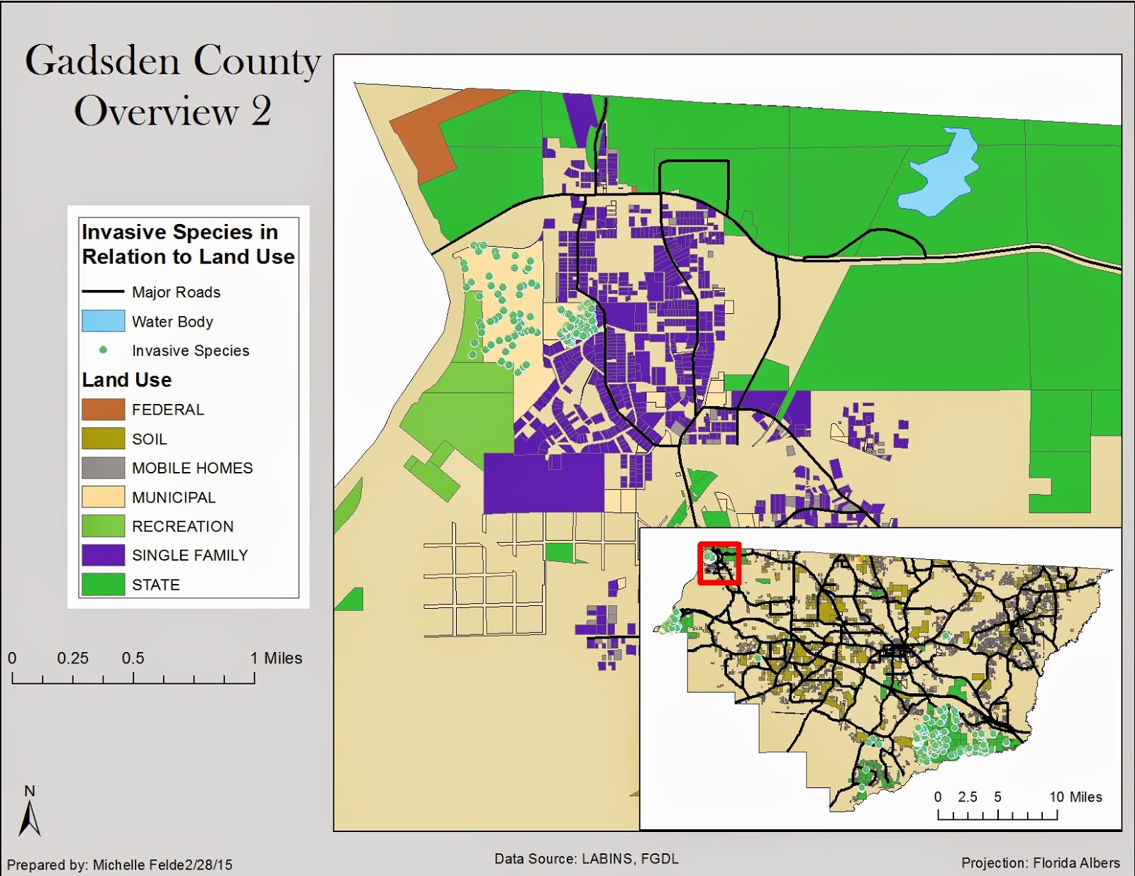
The second map shows the relationship between invasive species and land use. I decided to show a small area of Gadsden County to show the relationship the best. It is clear to see that the invasive species are around municipal land and parks. I added the hydrology layer to see if that also affected the location of invasive species. I added an inset map to help the viewer see where in Gadsden County I zoomed to.

The third map shows land cover and digital elevation model. I also showed where the cities were in relation to both DEM and land cover. It could be safe to guess that land cover and elevation might affect city locations.
No comments:
Post a Comment